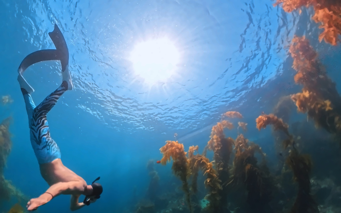
Guided freedive trips
Kelp beds, drop-offs and quiet coves in small groups. For divers who already have the training and want better water than the mainland gives them.
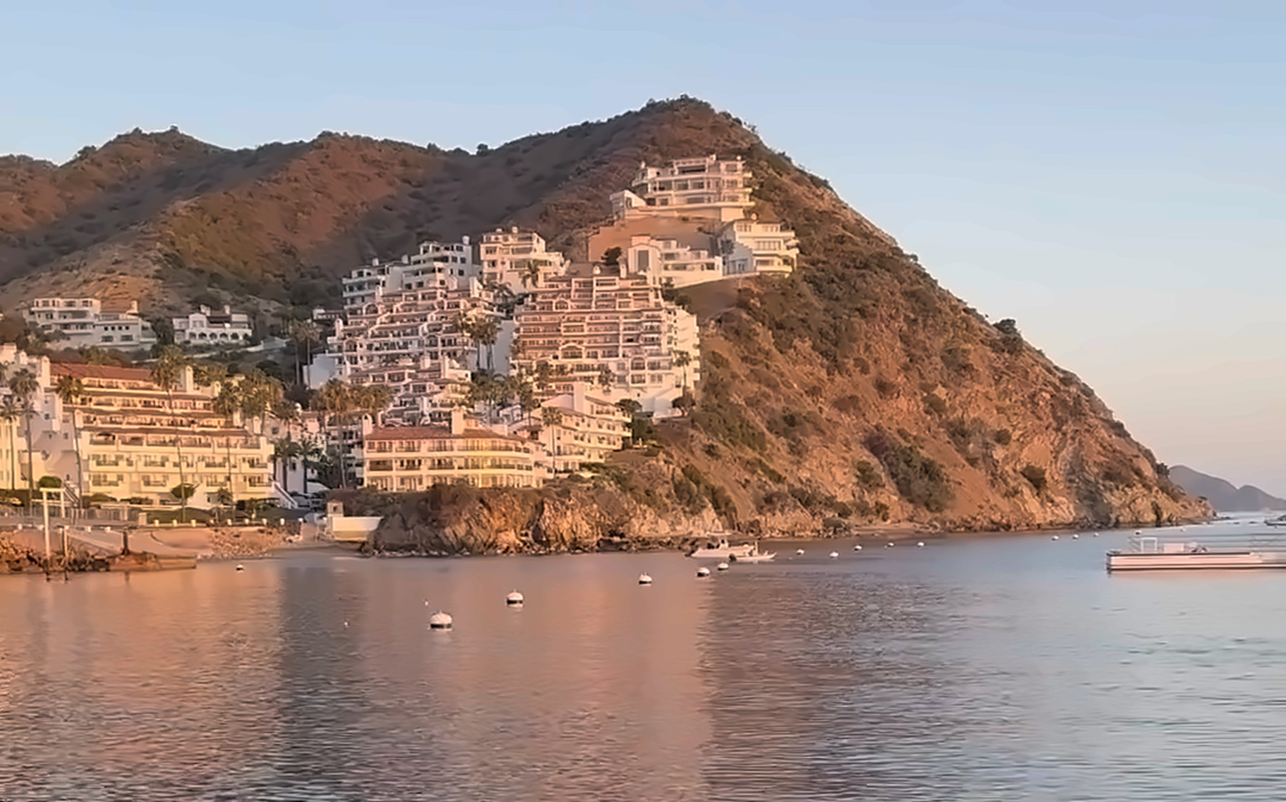
Santa Catalina Island
Twenty-two miles from the mainland, and the back side of the island holds the best water within a day’s reach of Los Angeles.
The crossing is short enough to go and come back in a day, which is the whole reason Catalina is first. Everything further out costs a weekend.
The lee side is the draw: kelp in the coves, structure along the drop-offs, and water that stays workable when the mainland is blown out. It is also busy in the summer, so the trips that are worth running are the ones that go where the boats don’t.
Starting points
These are guesses. Tell us we’re wrong.
Kelp beds, drop-offs and quiet coves in small groups. For divers who already have the training and want better water than the mainland gives them.
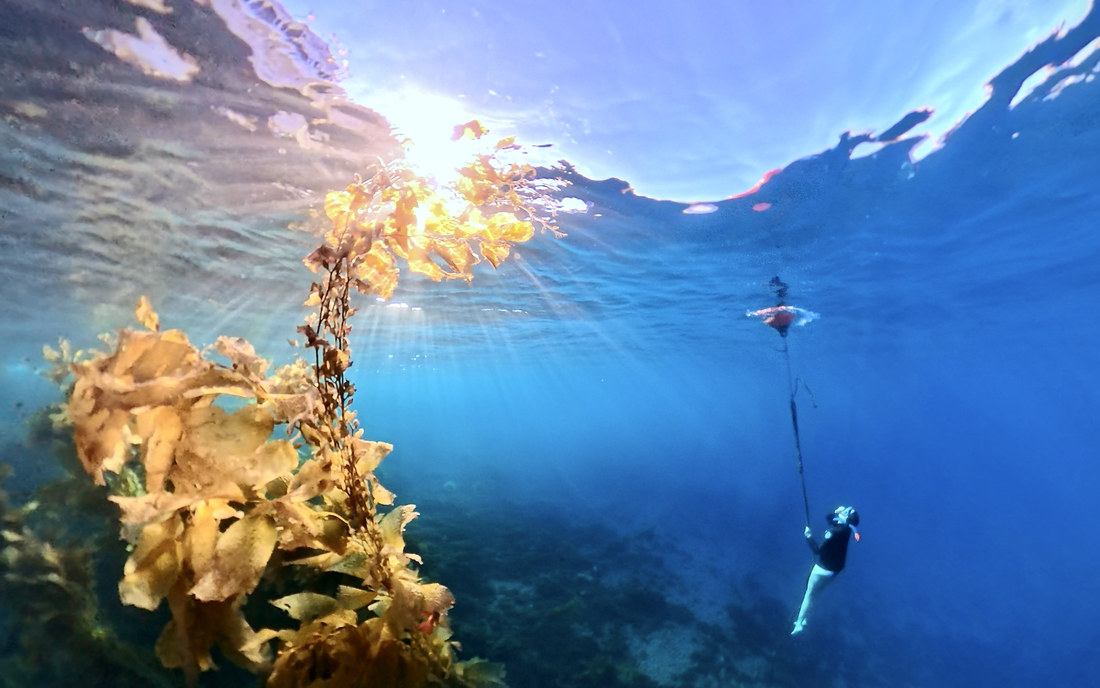
Most people who want to try this don’t need a certification — they need someone in the water with them the first few times. Breath-hold basics, equalization, and how not to scare yourself.
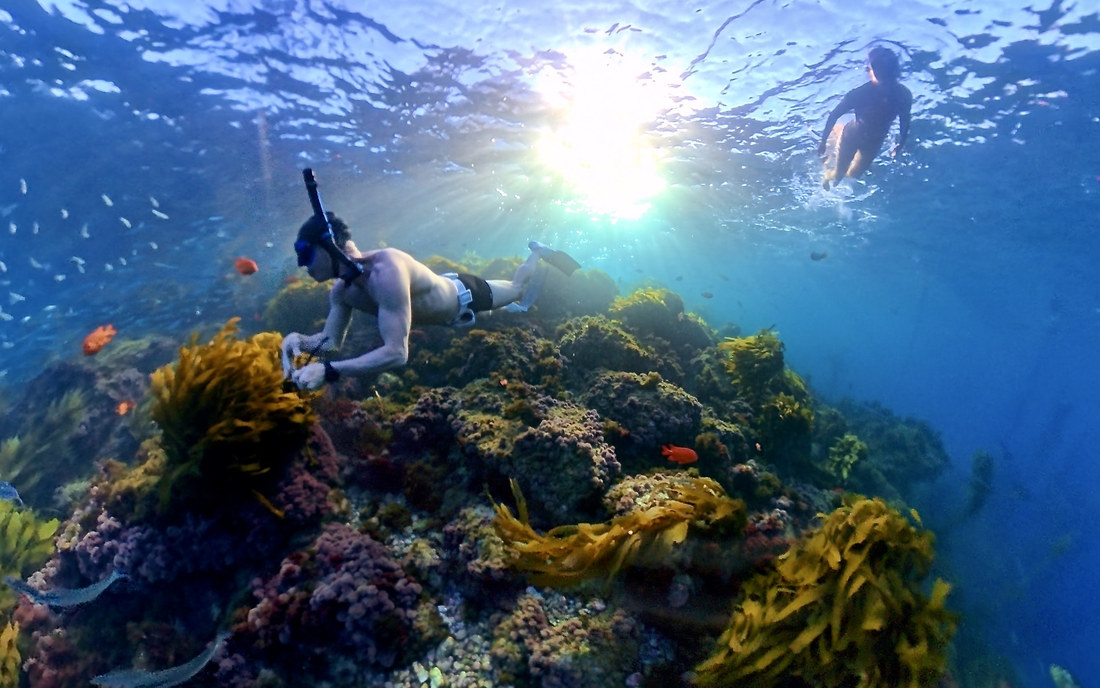
No certification, no depth, no pressure — just clear water and calm coves. The easiest way to show somebody why you keep going back.
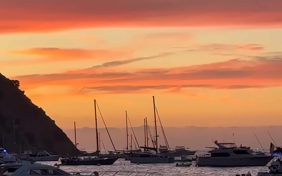
Not everyone wants to get in the water, and that’s fine. Time on the channel, the island from the water, and a good reason to be out there.
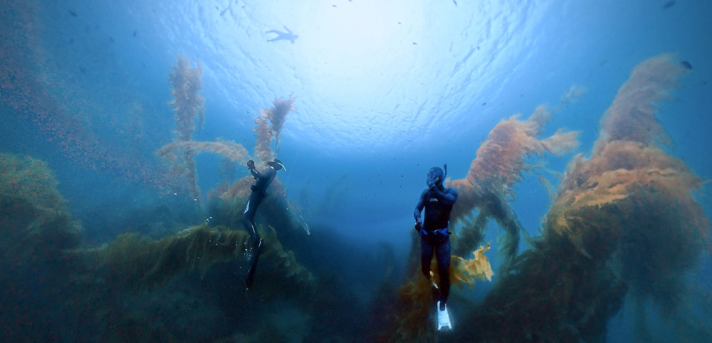
The adventurous one
The back side of the island, and pinnacles like Farnsworth Bank — a mile and a half off Ben Weston Point, purple hydrocoral starting around 54 feet, and usually nobody else out there. Weather-dependent, exposed, and not a first trip. This is the part a boat actually unlocks.
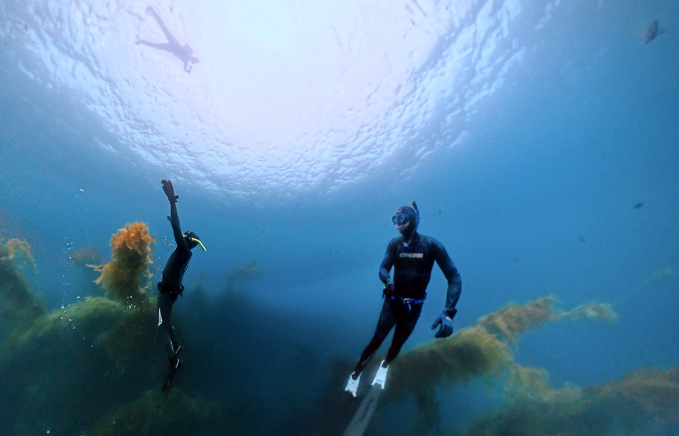
The one we’re building toward
This one we’re building toward rather than offering today. When it happens it’ll be its own trip — not a speargun bolted onto a snorkel day — and it’ll stay well outside the protected areas. If it’s the reason you’d come out, say so. It moves up the list.
The water itself
Every mark comes from the USGS place-name file or California’s own survey data — nothing here is a guess at where something is. What each place is actually like comes from the state and federal agencies that had to describe it: depths, habitat, kelp, what hauls out where.
Coastline: California Dept of Fish and Wildlife (ds582) and Natural Earth / © OpenStreetMap contributors. Place names: USGS GNIS. Site descriptions: NOAA Office of Coast Survey, CDFW. Pins are place locations, not drop points.
Tap the ones you want to dive. We will build the schedule around whatever gets asked for most.
Stay in it
One address. When there is a boat and a date for Catalina, you hear about it first.
Or
No trip is being sold here yet. Unsubscribe whenever — see the privacy policy.