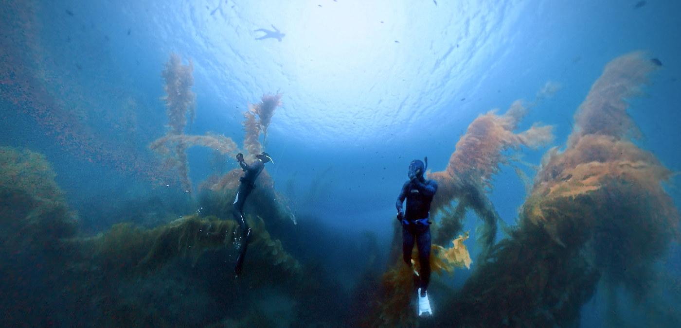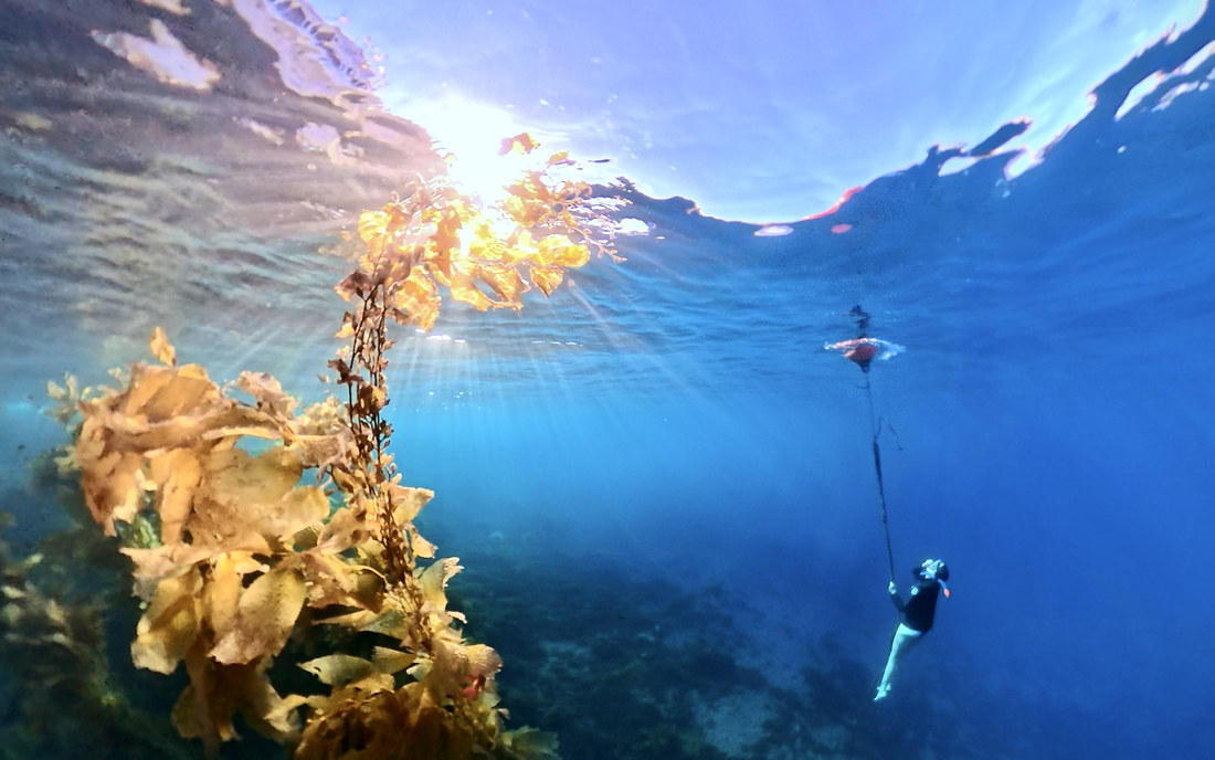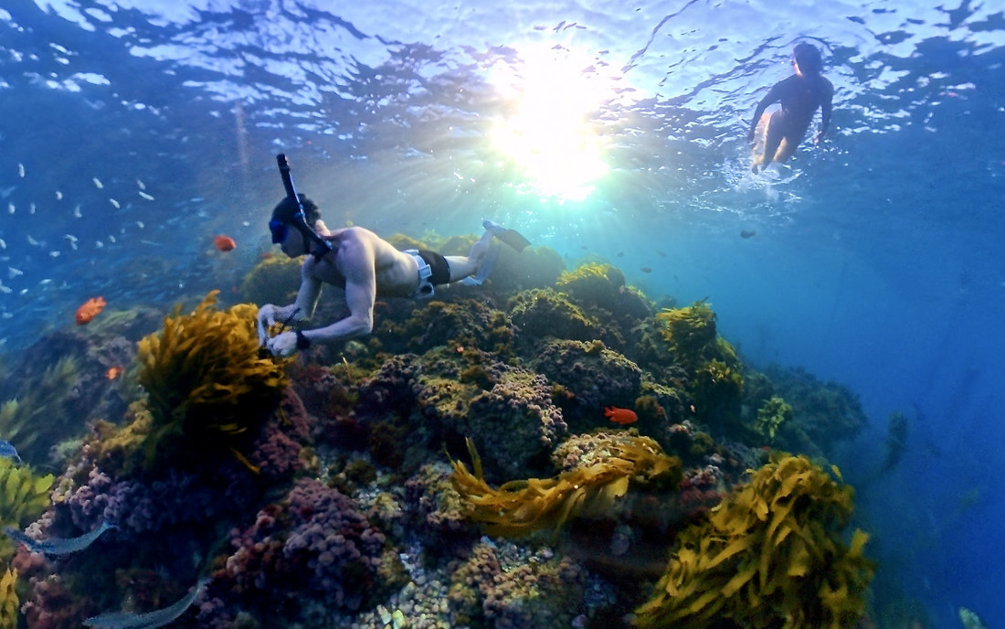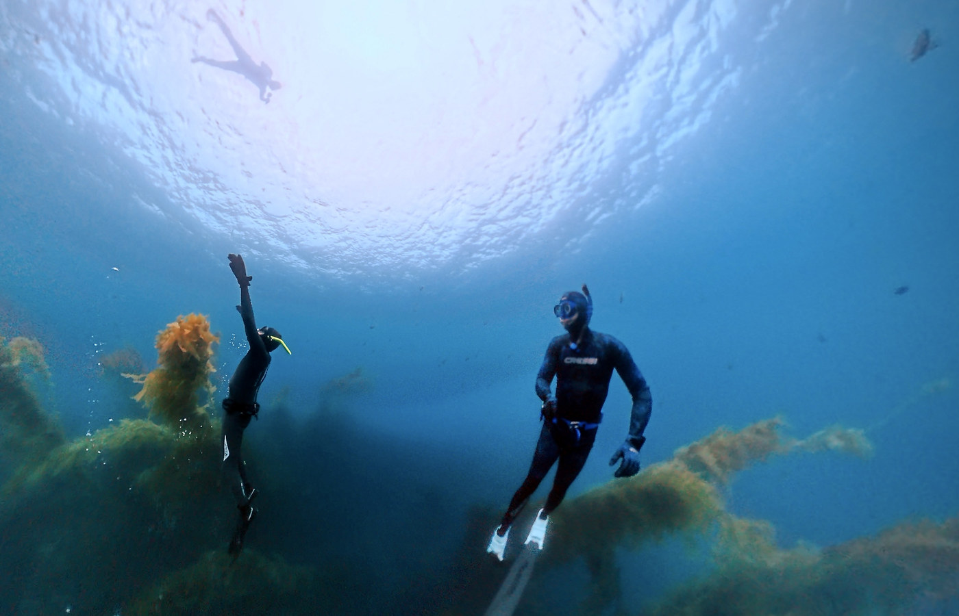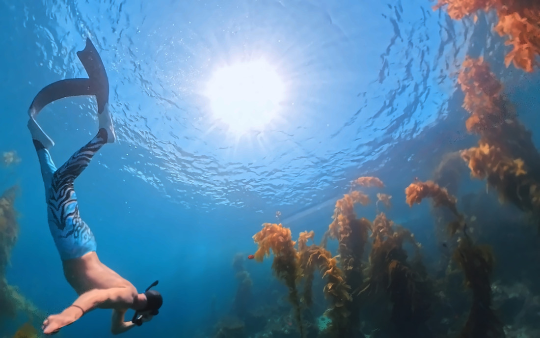
20 to 40 miles off Ventura and Santa Barbara. Boat only.

The northern Channel Islands

Fourteen state areas across four islands, plus eight federal sanctuary areas that overlay them with different boundaries. Ten are reserves where nothing may be taken. Two are closures that restrict boats rather than fishing — San Miguel holds you 300 yards off its west end.

The water itself

14 protected areas, and what each one allows

Every boundary is CDFW’s and every rule is quoted in full on the card, with its section of CCR Title 14 §632(b) and the date it was read.

Richardson Rock State Marine Reserve (SMR) — No take in the water · CCR §632(b)(101)San Miguel Island Special Closure (Special Closure) — Access restricted — read the rule · CCR §632(b)(102)Harris Point State Marine Reserve (SMR) — No take in the water · CCR §632(b)(103)Judith Rock State Marine Reserve (SMR) — No take in the water · CCR §632(b)(104)Carrington Point State Marine Reserve (SMR) — No take in the water · CCR §632(b)(105)Skunk Point State Marine Reserve (SMR) — No take in the water · CCR §632(b)(106)South Point State Marine Reserve (SMR) — No take in the water · CCR §632(b)(107)Painted Cave State Marine Conservation Area (SMCA) — Pelagic species · CCR §632(b)(108)Gull Island State Marine Reserve (SMR) — No take in the water · CCR §632(b)(109)Scorpion State Marine Reserve (SMR) — No take in the water · CCR §632(b)(110)Anacapa Island Special Closure (Special Closure) — Access restricted — read the rule · CCR §632(b)(111)Anacapa Island State Marine Conservation Area (SMCA) — Pelagic species · CCR §632(b)(112)Anacapa Island State Marine Reserve (SMR) — No take in the water · CCR §632(b)(113)Footprint State Marine Reserve (SMR) — No take in the water · CCR §632(b)(114)5 nm
Access restricted No take in the water Pelagic species Ring: the label is not the whole rule (Painted Cave, Anacapa Island) — read the cardPins are USGS GNIS named places, good to about 100 m — a reference for the spot, not a drop point.

These four labels are this chart’s shorthand for fourteen separately written regulations. Each area is governed by its own section of CCR Title 14 §632(b), named when you hover it. The rules differ area by area and change — check CDFW before you take anything.

Somewhere else in mind? Tap the open water to drop your own mark.

Tap the spots you’d actually get on a boat for. No commitment — it tells us which water to plan the first season around.

  • The rule, in CDFW’s words · §632(b)(101)

    Richardson Rock State Marine Reserve

    It is unlawful to injure, damage, take, or possess any living, geological, or cultural marine resource.

  • The rule, in CDFW’s words · §632(b)(102)

    San Miguel Island Special Closure

    Boating is allowed at San Miguel Island except west of a line drawn between Judith Rock (34° 01.500′ N. lat. 120° 25.300′ W. long.) and Castle Rock (34° 03.300′ N. lat. 120° 26.300′ W. long.) where boats are prohibited closer than 300 yards from shore. Notwithstanding the 300-yard boating closure between Judith Rock and Castle Rock, the following shall apply: Boats may approach San Miguel Island no nearer than 100 yards from shore during the period(s) from March 15 through April 30, and October 1 through December 15; and Boats operated by commercial sea urchin divers may enter waters of the 300-yard area between the western boundary of the Judith Rock State Marine Reserve at 120° 26.60′ W. long. and Castle Rock for the purpose of fishing sea urchins during the period(s) from March 15 through April 30, and October 1 through December 15. Boats traveling within 300 yards of the shoreline or anchorages shall operate with a minimum amount of noise and shall not exceed speeds of five miles per hour. Except as permitted by federal law or emergency caused by hazardous weather, boats may be anchored overnight only at Tyler Bight and Cuyler Harbor. Landing is allowed on San Miguel Island only at the designated landing beach in Cuyler Harbor. No person shall have access to all other offshore rocks and islands at San Miguel Island.

  • Outside every protected area — general California regulations apply.Nearest is Harris Point State Marine Reserve, about 650 m away — nothing may be taken inside it.

  • The rule, in CDFW’s words · §632(b)(107)

    South Point State Marine Reserve

    It is unlawful to injure, damage, take, or possess any living, geological, or cultural marine resource.

  • The rule, in CDFW’s words · §632(b)(105)

    Carrington Point State Marine Reserve

    It is unlawful to injure, damage, take, or possess any living, geological, or cultural marine resource.

  • Outside every protected area — general California regulations apply.

  • The rule, in CDFW’s words · §632(b)(109)

    Gull Island State Marine Reserve

    It is unlawful to injure, damage, take, or possess any living, geological, or cultural marine resource.

  • The rule, in CDFW’s words · §632(b)(110)

    Scorpion State Marine Reserve

    It is unlawful to injure, damage, take, or possess any living, geological, or cultural marine resource.

  • The rule, in CDFW’s words · §632(b)(111)

    Anacapa Island Special Closure

    No net or trap may be set in waters less than 20 ft deep off Anacapa Island. 20 fm (120 ft) brown pelican fledgling area closed Jan 1-Oct 31.

MPA boundaries: California Department of Fish and Wildlife, ds582. Regulations: CDFW per-MPA pages, retrieved 2026-09-01. Spot positions: USGS Geographic Names Information System (Domestic Names, California), public domain.